Visit
Walk the shore of the last word
Zzyzx is public in part: the road, the parking area and a short trail around Lake Tuendae. The old resort itself is a working field station.
Know before you go
- Zzyzx Road, the NPS parking lot and the Lake Tuendae Trail are open during daylight hours.
- The CSU Desert Studies Center grounds and buildings are closed to the public without a reservation. “Zzyzx is not an abandoned ghost town,” the NPS reminds visitors.
- Pit toilet and picnic tables; no drinking water.
- No camping or off-road driving; no drones or commercial filming; no pets except service dogs.
- Summer heat is dangerous. Late fall to early spring is the comfortable season.
Map © OpenStreetMap contributors. Pins are approximate.
Nearby
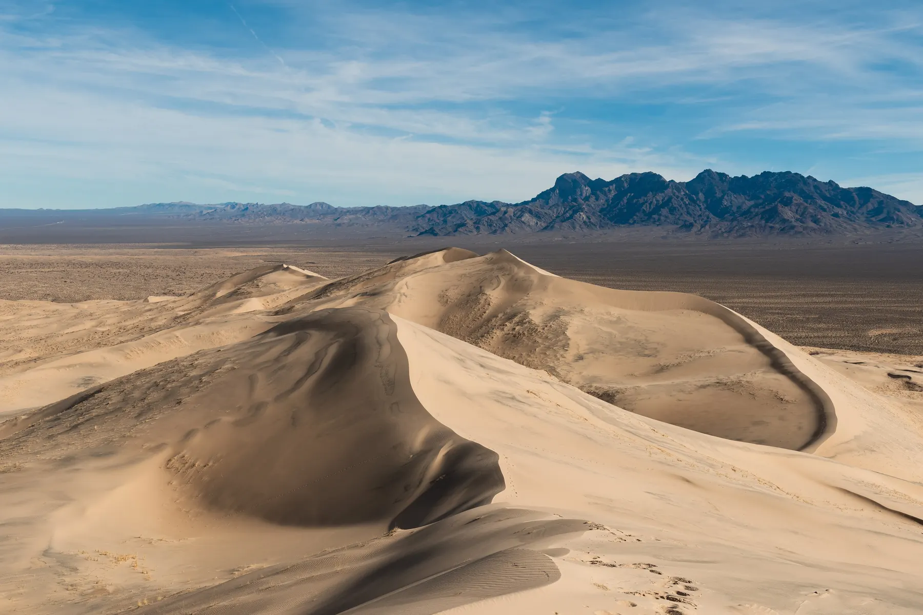
Baker, about 7 miles north, has fuel, food and the 134-foot World’s Tallest Thermometer. To the east and south, Mojave National Preserve offers the Kelso Dunes and the historic Kelso Depot (check the NPS for current hours).
From the exit sign to the loop
The visit is short, and the mistakes are specific. People treat the campus as a ruin they may enter, or they arrive in July with a half-liter of water, or they follow the palms past the road that is the property line. The notes below follow the drive in order. Rules are the ones published by the park service trail page, the Desert Studies Center visiting page, and the preserve safety page, not a local custom we invented.
Leave Interstate 15 at the Zzyzx Road exit, southwest of Baker. Wikipedia’s gazetteer summary puts the settlement 4.5 miles down a road that is paved in part and dirt in part, with Baker about 7 miles back to the north and Las Vegas on the order of 100 miles northeast. Dry weather is the assumption. After rain, the dirt stretch is a different road, and the preserve’s safety page treats dirt-road trouble as something you plan for: tell someone the route, the car, and the time you expect to be out. Cell service thins once the interstate is behind you.
The public arrival is a parking lot, not a lobby. Picnic tables and a pit toilet are there. Drinking water is not. The center’s visiting page says so in those words, and the preserve’s safety guidance is a gallon a person for a day in the park, two gallons if you are hiking or cycling. That is a floor. A hot afternoon on the playa does not care that you planned to stay twenty minutes.
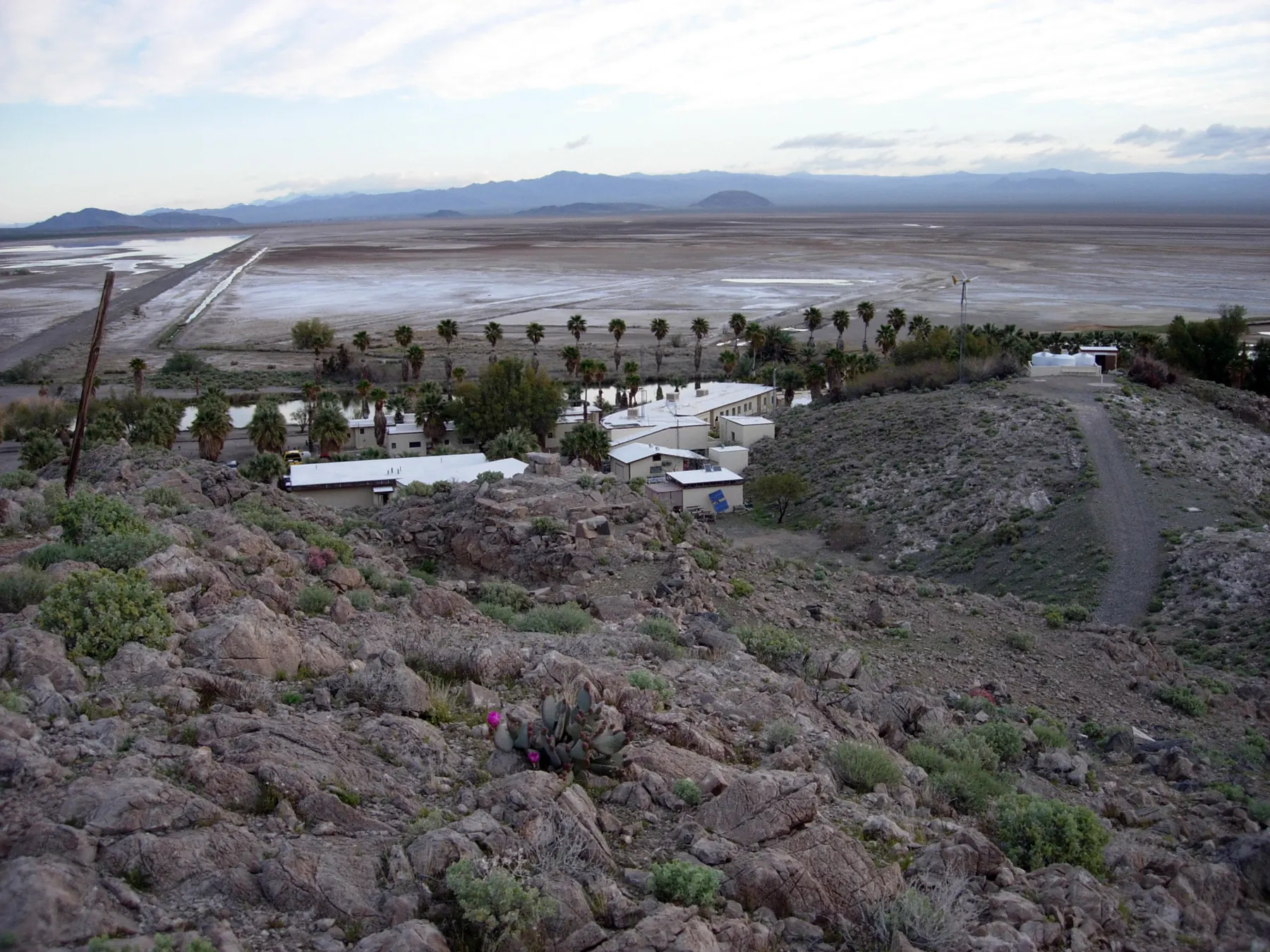
Daylight is the published window for the road, the lot, and the Lake Tuendae Trail. The campus beside the lake is a California State University field station. Its buildings and grounds are closed unless you have a reservation. The park service’s sentence is the one to remember: Zzyzx is not an abandoned ghost town. The property line, the park service says, is the road between the lake and the campus. The pool-house ruins sit on the campus side of that line. They are a teaching site where people work, not a set.
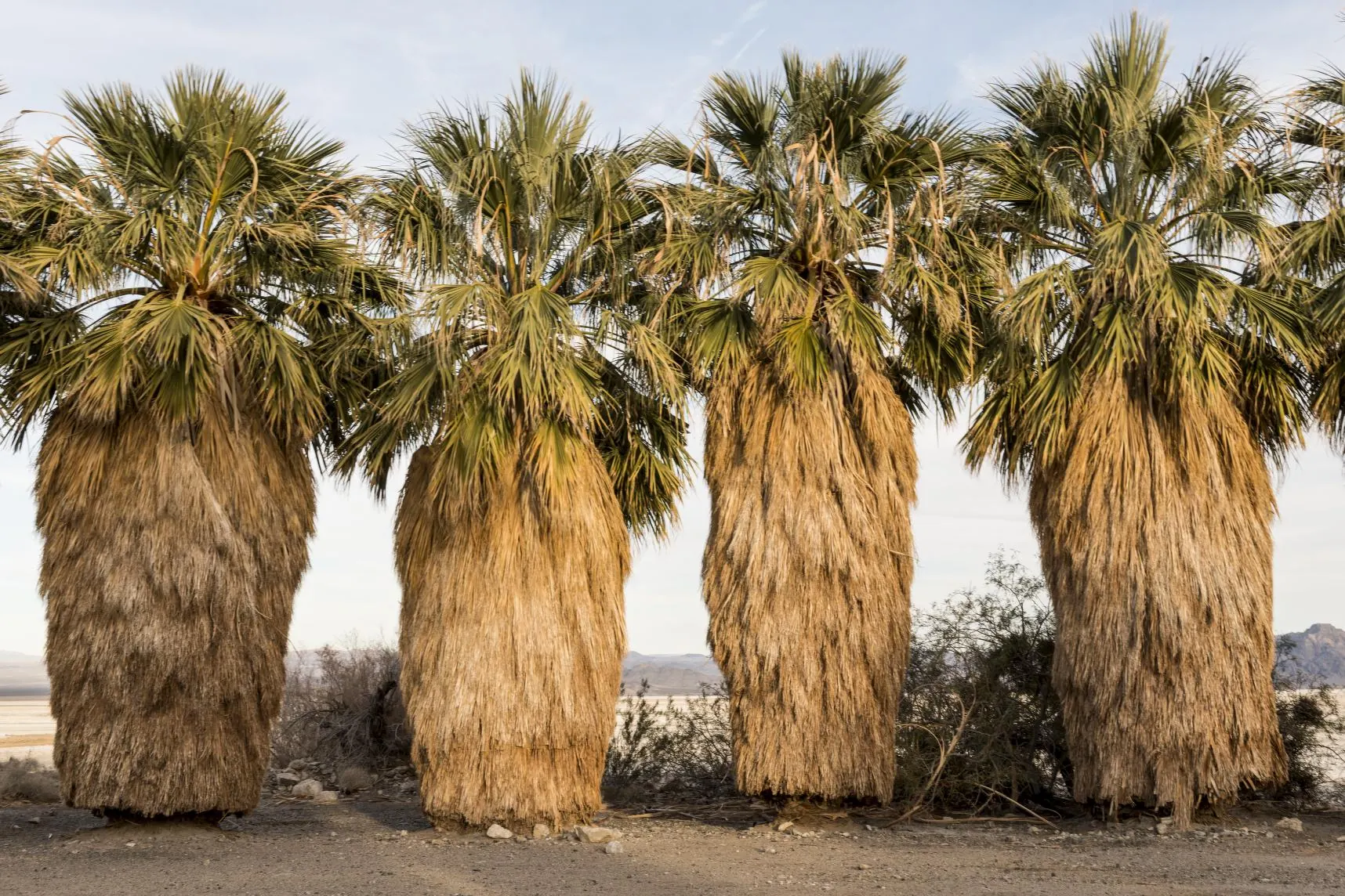
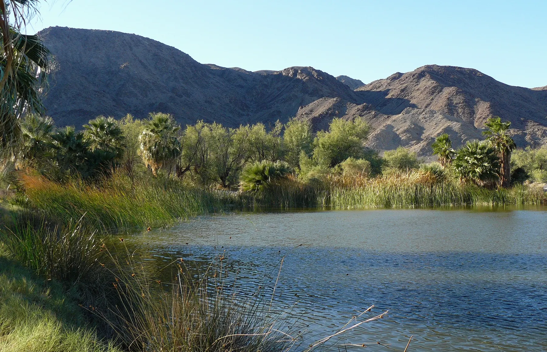
The trail itself is a quarter-mile loop, described as accessible, with waysides about the springs. California fan palms and reeds ring the water Springer had dug for guests. The endangered Mohave tui chub uses that water; the Fish and Wildlife Service review is why this site treats the fish as a reason to stay on the path and out of the reeds, not as a photo prop. Birds come because permanent water is scarce on this side of the preserve. Binoculars help. Drones, commercial filming, camping, and off-road driving are prohibited in the public area. Pets are limited to service dogs. Those limits are on the center’s visiting page.
The four pins on the map
The map under the rules is a planning sketch. The pins are approximate, and OpenStreetMap supplies the tiles.
- Zzyzx. The pin is the public lot and the loop, not a street address with services. Wikipedia, citing the federal names system, lists an unincorporated community in San Bernardino County inside Mojave National Preserve, at about 951 feet, ZIP 92309, area codes 442 and 760. None of that implies a store, a tap, or a ranger desk on site.
- Baker. Fuel and food, about 7 miles north, plus the roadside thermometer built 134 feet tall as a nod to the 134 degree Fahrenheit mark recorded in Death Valley in 1913. It is a stop for water you forgot, not part of the preserve.
- Kelso Depot. A historic railroad stop and visitor contact point farther into the preserve. Hours change and have closed before. Check the park service before you count on a building being open.
- Kelso Dunes. A walk on sand, not a spring. It belongs on the same day only if the heat and the water math still work after Zzyzx. The dunes are not a backup water source.
West of Baker, Route 66 continues through Newberry Springs toward Barstow, and Interstate 40 later cut across that town. A private driveway that stood in the highway’s path is the subject of Mrs. Orcutt’s Driveway. The house is not a viewpoint. Do not add it to a Zzyzx stop.
The comfortable months are late fall through early spring. Summer heat in this basin is the hazard the thermometer in Baker is joking about, and the joke is the record, not a forecast. The preserve phone listed for trip planning is (760) 252-6100. For emergencies, including a breakdown, the park service says 911, and it also lists a 24-hour dispatch line at (702) 293-8998. Those numbers are the preserve’s, from the safety page above. This site does not dispatch anyone.
Read next
6 min read
Visiting Zzyzx Today: A Practical Guide to Lake Tuendae and Soda Springs
How to visit Zzyzx off I-15, what you can and can't see, the Lake Tuendae trail, rules, heat safety, birding and nearby stops in Mojave National Preserve.
7 min read
Mohave Tui Chub: The Fish That Outlasted the King of Quacks
The only fish native to the Mojave River nearly vanished. Its last pure populations held on at Zzyzx, including in the lake Curtis Springer dug for his resort.
6 min read
Desert Studies Center at Zzyzx: Location and History
How Curtis Springer's health resort became a California State University field station in 1976, and what scientists and students do at Zzyzx today.

The Kindle edition
The King of Quacks is the true story of the radio preacher who claimed a desert, named it the last word in the dictionary and sold it all as a miracle.
The form opens a message in your own email program to hello@directoryassistancegroup.com. This site does not store the address. See our privacy policy.